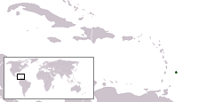
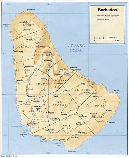
Use a Map of Barbados to Find Your Way Around This Beautiful Island
A map of Barbados is a handy tool when traveling to this beautiful island and its unblemished coastline of beautiful white sands.

Spend some time in the Barbados sun
Jimmy Buffett, Presents to Send You![]()
 |
Then, once he sailed into Bridgetown Harbor, our maps of Barbados would have sent him to some of the best shopping (for those presents he needs to send) and beautiful scuba diving locations in the world!
We present several different Barbados maps to help you find your way, from static maps to the latest in interactive satellite imagery from Google. So whether you are shopping in Bridgetown, the nation's capital, or looking for a scuba adventure we have a map to help you find your way.
Maps of Barbados: Detailed Overview

Interactive: Barbados Map
Leave Barbados Map and Return to the Barbados Travel Guide
Leave Map of Barbados and Return to Southern Caribbean Islands Maps
Leave Barbados Map and Return Home

